Page, Arizona Travel Guide
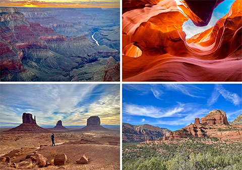
Page is a town of roughly 7,500 people in northern Arizona, about 15 miles from the Utah border. It sits at 4,300 feet on a mesa above the Colorado River, surrounded by Navajo Nation land, Glen Canyon National Recreation Area, and the Vermilion Cliffs National Monument. The town was founded in 1957 as a construction camp for workers building Glen Canyon Dam. Today it functions as the primary gateway for three of the most photographed attractions in the American Southwest: Antelope Canyon, Horseshoe Bend, and Lake Powell.
What makes Page useful as a travel base is its location at the intersection of three jurisdictions. Drive ten minutes east and you are on Navajo Nation land, where Antelope Canyon requires a guided tour. Drive five minutes south and you are at Horseshoe Bend, a self-guided overlook on city land. Drive ten minutes west and you are at a Lake Powell marina, which is federal land managed by the National Park Service. The rules, fees, and access requirements change depending on which direction you go. Understanding those boundaries before you arrive makes planning easier.
Where Page Sits
Page is in Coconino County, roughly 130 miles north of Flagstaff, 275 miles north of Phoenix, and 270 miles east of Las Vegas. The town is connected to the outside world by U.S. Highway 89, which runs north to Utah and south to Flagstaff, and by State Route 98, which branches east toward Antelope Canyon and the Navajo Nation.
The elevation — 4,300 feet — matters for two reasons. First, the air is thinner than at sea level but not as thin as Flagstaff (7,000 feet) or the Grand Canyon's North Rim (8,000 feet). Most visitors feel no altitude effects. Second, the elevation moderates the desert heat slightly. Summer highs still reach the upper 90s and low 100s, but nights drop into the 60s. Winter lows occasionally dip below freezing, and snow is possible but rare.
The land around Page is a patchwork of jurisdictions:
- East: Navajo Nation land, including Antelope Canyon and Monument Valley. Independent access is restricted; permits and guides are required for most attractions.
- South: City of Page and state land, including Horseshoe Bend. Self-guided access with standard parking fees.
- West and north: Glen Canyon National Recreation Area, including Lake Powell, Glen Canyon Dam, and Lees Ferry. Federal land with NPS entrance fees for some areas.
- Northeast: Vermilion Cliffs National Monument and Grand Staircase-Escalante, managed by the Bureau of Land Management. Dispersed camping and backcountry access with few services.
If you are visiting multiple attractions, you will cross between these jurisdictions in a single day. Carry cash for Navajo Nation permits and tips, a credit card for NPS fees, and water for everywhere.
What to Do Here
Most visitors come to Page for one or more of the following. Each requires a different amount of time, budget, and advance planning:
Antelope Canyon
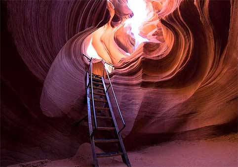
A system of slot canyons on Navajo Nation land ten minutes east of town. Upper Antelope is famous for light beams; Lower Antelope is narrower, less expensive, and requires descending metal stairs. All sections require a Navajo guide and advance reservation. Plan 2–3 hours including transport.
Horseshoe Bend
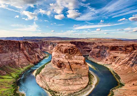
An overlook on the Colorado River five miles south of town. A 1.5-mile round-trip walk on a hardened dirt trail leads to a 1,000-foot cliff above a 270-degree river meander. Self-guided. $10 parking fee. No reservation. Plan 60–90 minutes.
Lake Powell
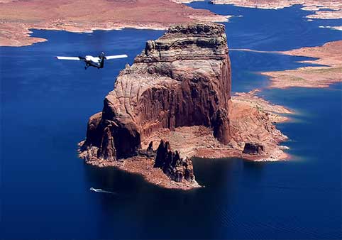
A 186-mile reservoir created by Glen Canyon Dam, with marinas at Wahweap and Antelope Point offering boat rentals, houseboats, kayak access, and scenic cruises. The water level fluctuates seasonally and has trended downward over the past two decades. Plan a half-day for a boat rental or cruise, or multiple days for a houseboat trip.
Glen Canyon Dam
A 710-foot concrete arch dam two miles north of downtown. The Carl Hayden Visitor Center is free; guided dam tours are $5. The bridge walkway is open 24 hours. Plan 45–90 minutes.
Day Trips
Page sits near the center of what is commonly called the Grand Circle — an informal loop of national parks and monuments in the Four Corners region. Within a half-day drive you can reach Monument Valley (2.5 hours), the Grand Canyon North Rim (2.5 hours), Zion National Park (2 hours), and Bryce Canyon (2.5 hours). See our day trips page for specific routes and timing.
How Long to Stay
| Duration | What fits | What you miss |
|---|---|---|
| One day | Antelope Canyon (morning) + Horseshoe Bend (afternoon) | Lake Powell, Glen Canyon Dam, any day trip |
| Two days | Day 1: Antelope Canyon + Horseshoe Bend Day 2: Lake Powell half-day + Glen Canyon Dam |
Day trips to Monument Valley or Zion |
| Three days | Days 1–2: Page-area attractions Day 3: Monument Valley, Zion, or Grand Canyon day trip |
Leisure time; multiple day trips |
Most visitors stay two nights. That allows one full day for the Page-area Big Three (Antelope Canyon, Horseshoe Bend, Lake Powell) and a second day for either a relaxed repeat visit or a day trip farther afield. See our one-day, two-day, and three-day itineraries for detailed hour-by-hour plans.
When to Visit
Page is a year-round destination, but the experience changes significantly by season. Summer (June–August) brings reliable light beams in Antelope Canyon and warm water for Lake Powell swimming, but also 100°F heat, monsoon thunderstorms, and peak crowds. Winter (December–February) is quiet and cold, with no light beams and reduced tour schedules, but hotel rates drop and you will have Horseshoe Bend nearly to yourself.
Shoulder season — March–May and September–November — offers the best balance for most travelers: moderate temperatures, manageable crowds, and reasonable prices. See our best time to visit guide for a month-by-month breakdown.
Getting to Page
Page Municipal Airport (PGA) has limited commercial service. Most visitors fly into one of the following airports and drive:
- Phoenix Sky Harbor (PHX): 275 miles, roughly 4.5 hours by car. The most common route: I-17 north to Flagstaff, then Highway 89 north to Page.
- Las Vegas (LAS): 270 miles, roughly 4.5 hours by car. Take I-15 north to St. George, then Highway 59 south to Kanab, then Highway 89 south to Page.
- Flagstaff Pulliam (FLG): 130 miles, roughly 2.5 hours by car. Highway 89 north all the way.
There is no train service to Page. Greyhound does not serve the town directly. If you are not renting a car, you will need to book a tour or shuttle from one of the major airports. See our shuttles and transportation page for current options.
Where to Stay
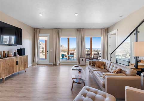
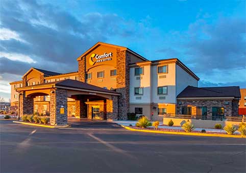
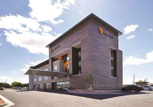
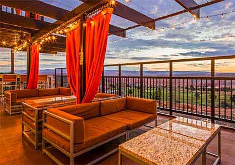
Page has roughly 15–20 hotels and motels ranging from budget chains to mid-range properties with lake views. Most are clustered along Lake Powell Boulevard and North Navajo Drive, within a few minutes of restaurants and grocery stores. See our Page hotels page and where to stay guide for specific options.
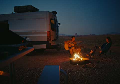
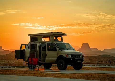
If you want to be on the water, Lake Powell Resorts & Marinas at Wahweap offers lodge rooms and houseboat rentals. Camping and RV sites are available at Wahweap, Lone Rock, and Lees Ferry. See our camping and RV page for details.
For practical information about gas stations, groceries, medical services, and cell coverage, see our Page visitor information page. To start planning activities, visit our things to do in Page guide.
Local Business Spotlight