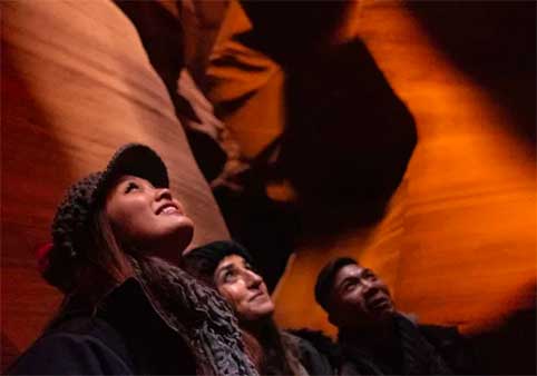
Bryce Canyon National Park
Bryce Canyon is not a canyon. It is a series of natural amphitheaters carved into the eastern edge of the Paunsaugunt Plateau, filled with thousands of hoodoos — tall, thin spires of rock that glow orange, pink, and red in the right light. The park sits at 8,000 to 9,000 feet, which means it is significantly cooler than Page and most of the surrounding desert. In summer, that is a relief. In winter, it means snow.
From Page, Bryce is roughly 2.5 hours by car — about 150 miles via Highway 89 to Highway 12. The drive climbs steadily from Page's 4,300 feet to the park's 9,000-foot rim, passing through forests of ponderosa pine and aspen that feel nothing like the desert you left behind. For travelers who want contrast with the red-rock landscape of Page, Bryce delivers it in the form of orange spires, green forests, and blue sky.
Bryce is smaller and more compact than Zion or the Grand Canyon. You can see the main highlights — Sunrise Point, Sunset Point, the Navajo Loop, and Inspiration Point — in a single morning. That makes it the most achievable of the long day trips from Page. You will still spend 5 hours in the car, but the time inside the park is efficient.
Getting There from Page
From Page, take Highway 89 west for roughly 110 miles to the town of Bryce, then follow Highway 12 east to the park entrance. The final approach climbs through ponderosa pine forest. Total drive time is 2.5 to 3 hours. There is no public transportation from Page to Bryce Canyon.
Entrance fee: $35 per vehicle for a 7-day pass, or use your America the Beautiful pass.
The Hoodoos
Hoodoos form through a process called frost wedging. Water seeps into cracks in the limestone, freezes at night, and expands — prying the rock apart. Over thousands of freeze-thaw cycles, the rock erodes into fins, then windows, then isolated spires. The result is a landscape that looks like a petrified forest of stone totem poles.
The color comes from iron oxide and manganese in the limestone. Morning and evening light bring out the richest oranges and reds. Midday light washes out the color and flattens the scene. If you are visiting for photography, plan to be at the rim at sunrise or sunset.
Viewpoints and Trails
Sunrise Point
The easternmost major viewpoint on the Bryce Amphitheater rim. As the name suggests, this is the best spot for sunrise photography. The sun rises behind you and lights the hoodoos in the amphitheater below. The trailhead for the Queens Garden Trail starts here.
Sunset Point
The most popular viewpoint, despite the name being slightly misleading — the sun sets behind the viewpoint, not in front of it. The best sunset light actually hits Inspiration Point. Sunset Point is the trailhead for the Navajo Loop, the most popular trail in the park. It is also the busiest parking area. Arrive before 9:00 a.m. in summer.
Inspiration Point
Three viewpoints at different elevations, all offering sweeping views of the Bryce Amphitheater. The upper viewpoint requires a short, steep walk. This is the best sunset spot — the sun sets in front of the viewpoint, lighting the hoodoos directly.
Bryce Point
The southernmost major viewpoint, offering a wider perspective of the full amphitheater. Less crowded than Sunset Point. Good for midday visits when the other viewpoints are packed.
Navajo Loop Trail
A 1.3-mile loop that descends from Sunset Point into the amphitheater, passes through Wall Street — a narrow slot between towering hoodoos — and returns via Two Bridges. The trail is steep, with 550 feet of elevation change, but it is short enough for most visitors. Wall Street is sometimes closed due to rockfall. Check current conditions at the visitor center.
Queens Garden Trail
A 1.8-mile round-trip trail from Sunrise Point that descends into the amphitheater and passes formations named for their resemblance to Queen Victoria and other figures. Easier than the Navajo Loop and less crowded. Combine both trails for a 3-mile figure-eight loop that is the best single hike in the park.
Rim Trail
An 11-mile trail that follows the rim of the amphitheater from Fairyland Point to Bryce Point. The section between Sunrise and Sunset Points is paved and nearly flat — an easy 1-mile walk with constant views. This is the best option for visitors who want scenery without elevation change.
Practical Information
- Best time to visit: Sunrise and sunset for photography. Spring and fall for comfortable temperatures. Winter for snow-dusted hoodoos and solitude.
- Elevation: 8,000–9,000 feet. If you are coming from sea level, you may feel mild altitude effects — shortness of breath on stairs, faster fatigue. The air is thinner than at Page.
- Weather: Summer highs reach the 70s–80s. Winter lows drop below zero. Snow is common from November through March and can close some trails. The park is open year-round, but the road to Fairyland Point closes in winter.
- Shuttle: Bryce has a free shuttle system that runs to the major viewpoints and trailheads. It is optional — you can also drive your own vehicle. The shuttle reduces parking stress at Sunset Point.
- Food: The Bryce Lodge restaurant and general store are open seasonally. The town of Bryce has additional options. There is no food at the remote viewpoints.
- Gas: Fill up before entering the park. The nearest stations are in Bryce and Tropic.
- Cell service: Spotty inside the park. Verizon works at some viewpoints. Do not rely on real-time navigation.
- Pets: Allowed on paved surfaces and the Rim Trail between Sunset and Sunrise Points. Not permitted on unpaved trails or below the rim.
How to Combine with Nearby Attractions
- From Page: Bryce is the standard Day 3 option for travelers who want cooler temperatures and compact scenery. Leave Page at 6:30 a.m., arrive by 9:00 a.m., hike the Navajo Loop and Queens Garden, have lunch at the lodge, and return by 4:00–5:00 p.m.
- Zion National Park: Zion is 1.5 hours from Bryce via Highway 12 and Highway 89. Combining both in one day from Page is not realistic. If you want to see both, stay overnight near one park or extend to a 4-day trip.
- Red Canyon: A smaller, free version of Bryce on Highway 12, 20 minutes west of the park entrance. Good for a quick stop if you are short on time.
- Escalante Petrified Forest: A state park 45 minutes from Bryce with petrified wood and views of the Grand Staircase. A possible add-on for geology enthusiasts.
Frequently Asked Questions
How far is Bryce Canyon from Page, Arizona?
Approximately 150 miles and 2.5 to 3 hours by car. Take Highway 89 west to Highway 12 east. The drive climbs from 4,300 feet to 9,000 feet.
Can you do Bryce Canyon as a day trip from Page?
Yes. Bryce is the most compact of the major national parks near Page. The main viewpoints and the Navajo Loop can be covered in 4 to 5 hours. Add 5 hours of driving for a long but achievable day.
What is a hoodoo?
A hoodoo is a tall, thin spire of rock formed by erosion. At Bryce, freeze-thaw weathering breaks apart the limestone, creating fins, windows, and eventually isolated spires. The park has the largest concentration of hoodoos on Earth.
What is the best trail in Bryce Canyon?
The combination of Queens Garden Trail and Navajo Loop makes a 3-mile figure-eight that is the best single hike in the park. It covers the most scenic sections of the amphitheater with manageable elevation change. For an easier option, the paved Rim Trail between Sunrise and Sunset Points offers constant views without descending into the canyon.
Is Bryce Canyon crowded?
Yes, but less so than Zion. Sunset Point and the Navajo Loop are the busiest areas. Sunrise Point, Inspiration Point, and the Queens Garden Trail are slightly less crowded. Winter has the fewest visitors.
Can you visit Bryce Canyon in winter?
Yes. The park is open year-round. Snow-dusted hoodoos are spectacular, and the crowds are thin. Some trails close due to ice. The road to Fairyland Point closes. The Bryce Lodge restaurant reduces hours. Chains or 4WD may be required on park roads during snowstorms.
Is Bryce Canyon better than Zion?
They are different. Zion is a deep, green canyon with waterfalls and hanging gardens. Bryce is a high plateau with orange spires and open views. Zion has more hiking variety. Bryce is more compact and easier to see in a day. If you have time for only one, Zion offers more to do. If you want the most efficient day trip from Page, Bryce is faster to cover.
Do you need a reservation for Bryce Canyon?
No. Bryce does not require advance reservations for day use. The shuttle is free and optional. Parking at Sunset Point fills early in summer — use the shuttle if you arrive after 9:00 a.m.
What should you wear to Bryce Canyon?
Layers. The elevation is 9,000 feet, which means it is 20–30 degrees cooler than Page. Even in summer, mornings are chilly. Closed-toe shoes with good tread for the steep, sandy trails. A hat and sunscreen — there is little shade on the rim.
For a complete three-day itinerary including Bryce Canyon, see our three days in Page guide. For other day trips, visit day trips from Page.
For tours that include Bryce Canyon in a 3-day national parks loop from Las Vegas or Page, see multi-destination tours.
For lodging near the Grand Canyon from Page — a common add-on to a Bryce Canyon day trip — see Grand Canyon hotels.

Lake Powell Taxi Services
Private Tour | Custom Options Available | Native (Dine) Operated | Family-Friendly
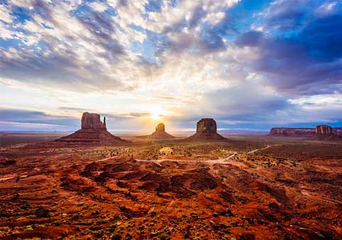
3-Day National Parks Tour: Zion, Bryce Canyon, Monument Valley and Grand Canyon
Tours from Las Vegas
Local Business Spotlight